Using Space Data to Make Critical Infrastructures Safe and Secure
Critical Infrastructures are systems crucial for running a country. If anything happens to one of these systems, there would be a hugely negative knock-on effect on the entire country.
This is, obviously, not good…
Of course, it’s a complete possibility, but instead of being prepared for the outcome, there are ways for us to monitor these systems and prevent any potential issues.
We can do this by using space data and satellite technology to remotely monitor the systems and build us a picture of what’s happening with them in real-time.
This guide will look at how we can start using space data to make critical infrastructures safe and secure:
Uses of Space Data
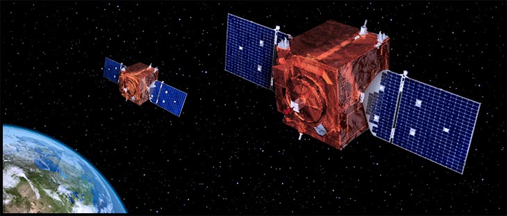
Through the use of remote satellite technology, there are a lot of different areas of the country we can monitor and add preventative measures towards. The space data will help us address issues before they get out of hand, and enhance already existing areas to make them better.
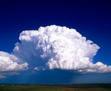
Renewable Energy Forecasting
Space data will aid us in efficient and sustainable renewable energy use. That felt like a lot of big words all at once.
What we mean by this is that we can measure how much energy will be generated when using renewable resources, allowing us to reduce fossil fuel usage as much as possible.
The way to do this is by understanding the weather conditions. Using satellites allows us to gain far more accurate weather readings, which in turn leads to far more accurate energy output predictions.
Understand now? Great!
Search and Rescue Emergency Services
As time goes on, our current emergency services system is improving, but there’s still only so much it can do.
When someone goes missing, especially in remote areas, drones can be deployed to help look for them.
Satellite data will be used for communication and to help the drones manoeuvre through more difficult terrain, utilising GNSS (Global Navigation Satellite Systems) to help map out these areas.
Rail and Road Conditions
Ever been driving through a fairly remote area, turn the corner and you’re suddenly faced with a fallen tree in the middle of the road?
It’s happened to the many of us.
Satellites will be able to monitor road conditions and notify local authorities regarding any issues, so it can be resolved swiftly before causing further issues.
Rail conditions can also be monitored. This is particularly important, as any issues to the rail network can cause a knock-on effect, meaning major disruptions to transport links across the country.
Satellite data will help in a similar way to monitoring road conditions, and can help prevent disruption and protect passengers from natural issues, such as landslides.
The space data will be useful to us for both road and rail conditions, and allow us to act before any issues become too serious.
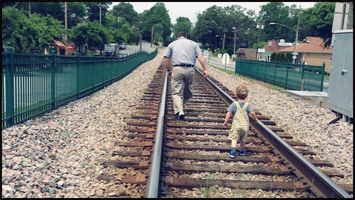
Remote Care
Another very cool way of securing a critical infrastructure is through remote care.
Remote health checks and diagnosis can be done remotely through the use of satellites. Healthcare in general can save a lot of time and money as a result.
The aging population won’t need to step out of their homes to visit their doctors, and can instead be checked and monitored at home.
Not only is this less disruptive to the patients, but it also opens up bed spaces at the hospital, wherein more focus can be given to the patients’ wellbeing.
How it’s Currently Being Used
We’ve been talking for a while about how these new innovations will work in theory, but there are some businesses who are currently implementing similar satellite-based technology.
We’ve given some examples below:
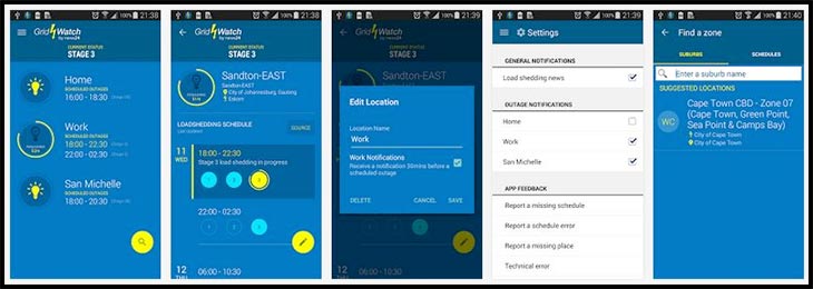
Gridwatch
As the name implies, Gridwatch aims to monitor and maintain power infrastructures. They have a two-pronged approach to their business.
- Offering insights to the people in charge of maintenance
- Offering insights to the people in charge of network operations and energy dispatching
Satellites will continuously monitor pylons and warn the company of any anomalies. The use of satellite data has two big advantages in this area. First, the data received is highly accurate, and secondly, it avoids the need for on-site inspections.
The satellites will also pick up data on line transmission capacities, which is highly useful to the network operations and energy dispatching teams. Using this data, the team can reduce the risk of energy overload as well as the possibility of power line outages.
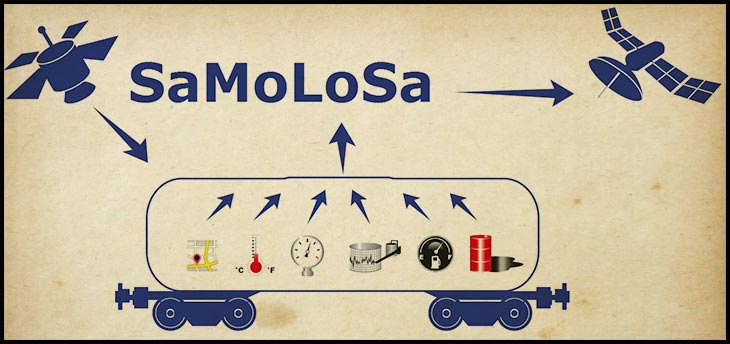
SaMoLoSa
This project monitors hazardous goods while in transport. The technology will monitor the parameters required by the key stakeholders and ensure everything is running smoothly.
The process will make sure that these goods are kept safe and aren’t lost in the process. The information it’ll provide to businesses will help optimize their logistics, as well as identify key areas for improvement.
TeleRetail
Imagine a world where you order something and a robot comes to deliver it to you.
That’s the world TeleRetail is looking to build. The company is developing an automated delivery service, where self-driving courier robots can fulfill the demand for urban and sub-urban logistics services.
Satellites will track assets, while GNSS satellite navigation and nanosatellite imagery technology will aid in the autonomous driving and on-board sensors.
Are You Looking to Do Your Part?
If you’re looking to do your part in aiding the safety and security of critical infrastructures, then ESA can help you with support and funding programs.
They can help you by offering zero-equity fully funded activities, technical and commercial guidance, and access to their vast network, as well as their brand power.
If you feel like your business is looking to push this sector in the right direction, you can apply to the ESA’s funding opportunities here.